Start: 331429.0
End: 331700.5
Driven: 271.5
This week's album: Reanimation by Linkin Park

This morning I realized I'd woken up too late to participate in today's autocross with the SSCC, but my tires are in pretty rough shape in any case so I hadn't really planned on melting more of them onto the parking lot of the Credit Union Centre. Still, I felt like I needed a drive, bad tires or no. I remembered I'd last driven Saskatchewan Highway 784 from east to west back in mid-winter (Sunday Drive 46, January 16 of this year), when it was covered in snow and in some places thick enough that I had worried about getting stuck. I thought I'd check it out when the risks were from liquid, rather than solid water.
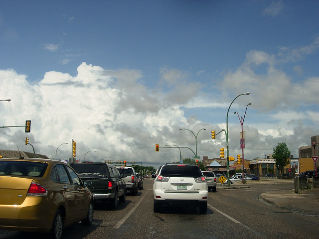
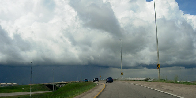
It had rained a few times over the last few days, and the sky was still full of various clouds. Driving north up Idylwylde Drive in Saskatoon I could see I was headed towards at least a few big dark clouds.
The last time I tried to get onto Highway 784 from Highway 16 I had nearly missed the turnoff. This time, I turned too early, and ended up driving south on a "range road", a four-digit gravel road that took me back towards Saskatoon's northwest neighbourhoods. When I realized this, I turned right (west) on the first decent-looking cross road, which turned out to be in very poor condition.
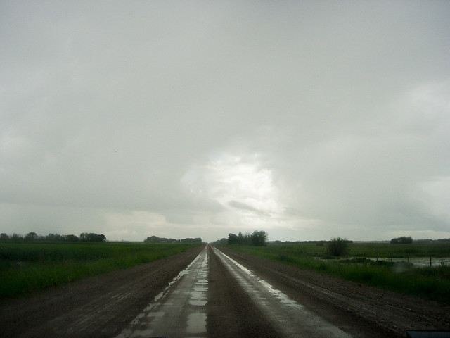
This view of this range road is of a better stretch; during the worse parts I was concentrating on not sliding off the road too much to take any pictures. I got good and slideways on this road, at one point I think my car might have been rotated as much as 30 degrees off of my direction of travel.
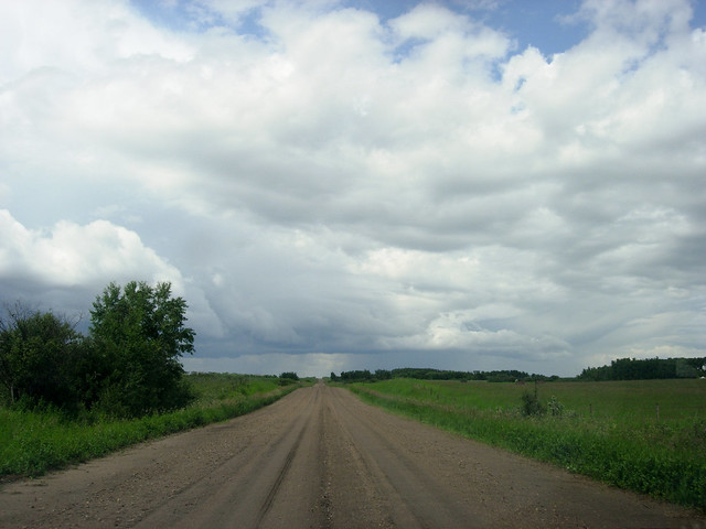
I tired of the frantic antics of the road I was on, and I found a slightly larger and possibly drier road to take me north towards Highway 784. This one involved fewer fishtails, but the ruts were sufficient many times to render my steering superfluous - I had to stop myself from trying to correct too much my small skids, as I was worried I'd suddenly succeed and send myself straight off the road.
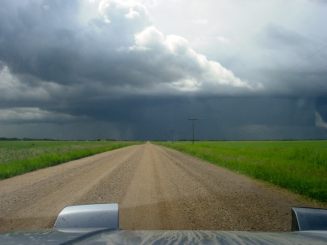
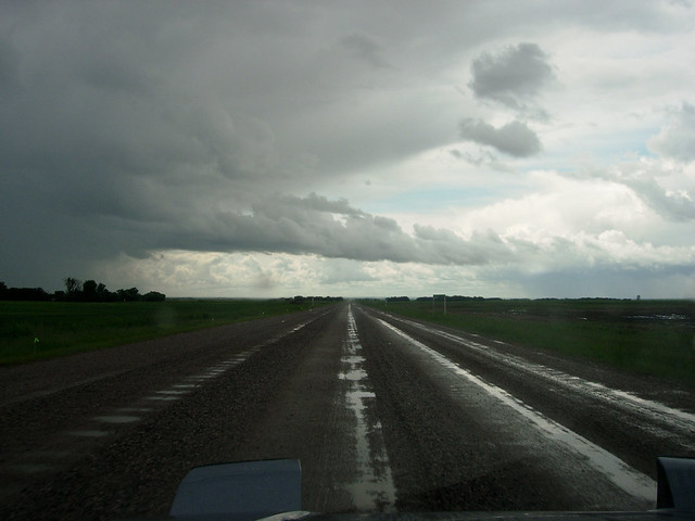
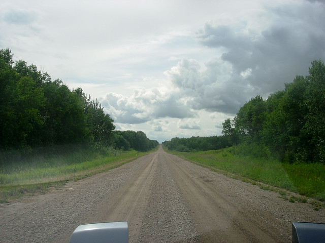
Eventually I reached the comparatively good surface of Highway 784, and turned west. This highway runs from its intersection with the Yellowhead branch of the Trans-Canada Highway (Highway 16) just northwest of Saskatoon to Highway 4, about 30 km north of the town of Biggar. It's almost a straight line, with only two deviations of sufficient size to appear on maps.

I stopped for a break on 784 near this... facility which I think is a quarry for sand and/or gravel.

While I was stopped near the quarry, I noticed a large number of red-wing blackbirds (Agelaius phoeniceus) on the fenceposts, and they seemed unable to decide what to do between yell at each other, yell at me, or seek shelter from the approaching storm.
I drove along 784 until I reached the valley where it crosses Eagle Creek, a small waterway that drains into the North Saskatchewan River just north of this crossing. I've stopped at this bridge nearly every time I drive on this highway, I find the small valley and the creek very visually intriguing. A flock of Cliff Swallows (Petrochelidon pyrrhonota) appeared shortly after I stopped, and proceeded to keep the mosquitoes away from me.
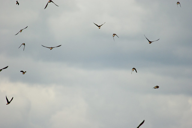
I think these swallows may be nesting under the bridge, though there are some fairly steep eroded-soil bluffs not far downstream that they might be using.
Highway 784 climbs a ridgeline into a small patch of forest, then over some open parkland before meeting Highway 4. This bit of elevation (I think there's less than 100m difference between the surface of Eagle Creek and the top of this ridge) is sufficient to prevent too much water building up within the Highway itself, and that part of the drive was over much less rutted and gooey dirt and gravel. My tires are so bad, however, that I still managed to step the back end out a little going around one of the four large, sweeping curves of this highway.
I drove into the town of Biggar, advertised on Highway 4 as having "ALL SERVICES", and filled my gas tank at the Esso station. Even though I have yet to upload the pictures or write up my adventure, in April I ran out of gas in southwest Saskatchewan because the small towns there all contain Co-op gas stations that are closed on Sundays. Esso stations, at least, are open on weekends.
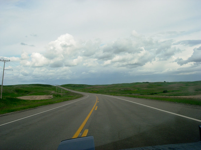
Highway 14 also has a few curves, and the pavement means I was in no danger at all of sliding into the ditch...
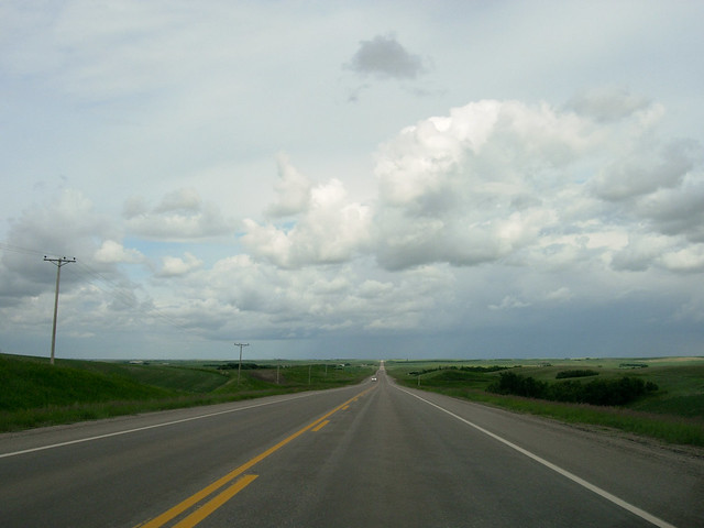
...but most of it is really boring straight road.
Highway 14 took me home, though I did stop two more times, to overcome the boredom of this large highway. Also, pictures, of course.
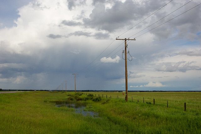
Looking east towards Saskatoon, about 35 km from home.


1 comment:
Wide open spaces, empty roads, moody skies and a shade of green I am completely smitten with... To me, your pics are visual yoga and make my mind stretch and drift quite peacefully. Thank you Martin. Oh, and get yourself some "hairy" tires...
Post a Comment